
Category

Category: Borders & Geopolitics

Territorial disputes, boundary lines and the politics of the map.

Showing 10–11 of 11

See all posts
Borders & Geopolitics 1 min read
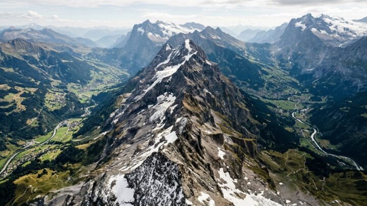
Mountain ridge forming a natural border

Geo Boundaries — Vol. 1 of 4

Geo Boundaries-v1 is the first of four volumes on the lines that divide the world. This kit focuses on the fundamentals: how a boundary is drawn, what makes it natural versus artificial, and how to show it clearly on a map without letting the line overwhelm the terrain. The prompt frameworks cover stylised political maps, terrain maps with overlaid borders and simple schematic diagrams that isolate the concept from the geography. Each block is written to keep the boundary visually dominant while preserving enough landscape detail to make the map readable. You get prompts for dashed, solid and disputed boundary treatments, so you can distinguish different legal statuses at a glance. Guidance on palette separation ensures adjacent territories read as distinct even in a thumbnail. The kit avoids embedded text, so place names and labels stay in your own language and typography. Use it as the foundation for the later volumes, which add disputes, historical shifts and maritime boundaries.
Read more
Borders & Geopolitics 1 min read
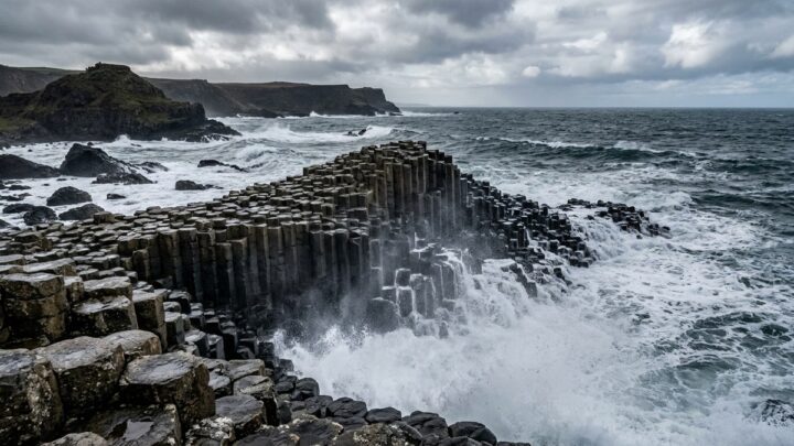
Basalt rock columns on a rugged coastline

Border Legends

Border Legend is a Creator Kit built around the stories that national boundaries carry. Borders are rarely just lines on a map, and this framework gives you the visual language to show why. The prompt blocks cover disputed frontiers, natural boundaries formed by rivers and mountain ranges, historical treaty lines and the human settlements that sit on either side. You get frameworks for stylised map illustrations with clear boundary treatment, for before-and-after comparisons showing how a border shifted over time, and for narrative scenes that put people into the landscape rather than treating the map as abstract. Each prompt specifies how to keep the boundary visually dominant without overwhelming the terrain detail. This kit suits geography explainers, history channels, current-affairs breakdowns and educational material about how the modern political map came to look the way it does.

Read more