Human Anatomy-v3 completes the series with the internal organs and the systems that keep the body running. The prompt frameworks cover the cardiovascular, respiratory, digestive, nervous and endocrine systems, both individually and in their spatial relationship to one another. Each block is written to produce a clear cutaway or layered diagram where organ position and scale are correct, because a viewer learning anatomy needs to know what sits where, not just what each organ looks like. You get prompts for torso cutaways, system-isolated views that show one network at a time, and exploded diagrams that separate overlapping structures. The kit includes guidance on colour coding by system, so a multi-system diagram stays legible. This volume suits medical education, health explainers, biology curricula and clinical content, and completes a full anatomical reference when used alongside the skeletal and muscular volumes.
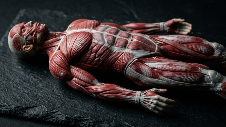
Human Anatomy-v2 moves from bone to muscle, covering the muscular system that produces every movement the body makes. The prompt frameworks cover superficial and deep muscle groups, muscle origins and insertions, and the layered arrangement that lets a viewer understand how movement actually happens. Each block is written to keep muscle groups visually distinct, using colour separation and directional fibre texture so a complex region stays readable. You get prompts for anterior, posterior and lateral views, exploded layers that peel back superficial muscle to reveal deeper structures, and dynamic poses that show muscles in action rather than at rest. This volume suits anatomy education, sports science, fitness coaching content and physiotherapy material, and pairs directly with the skeletal volume to build a complete musculoskeletal reference.
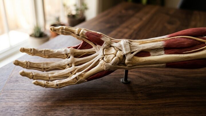
Human Anatomy-v1 begins a three-part series on the systems of the body, starting with the skeletal framework that holds everything else in place. The prompt frameworks cover the full skeleton, regional bone groups, joint structures and the way bones articulate with one another. Each block is written to preserve correct proportion and articulation, since an anatomically wrong skeleton undermines an entire explainer. You get prompts for anterior, posterior and lateral views, exploded diagrams that separate a joint into its components, and cutaway sections showing bone interior structure. The kit includes guidance on rendering bone surface, from the smooth shaft of a long bone to the porous texture of spongy interior. Frameworks for comparative views let you place a healthy joint beside a damaged one. No text is embedded in the images, so labels and terminology stay under your control. It forms the structural base for the muscular and organ volumes that follow.
Human Neuroanatomy is a Creator Kit for explaining the most complex structure we know of. The prompt frameworks cover the brain's major divisions, cortical regions, the limbic system, the cerebellum and the neural pathways that connect them. Each block is written to produce a clear anatomical illustration where structure is legible before detail, because a viewer who cannot identify the region will not follow the explanation. You get prompts for lateral and sagittal views, exploded diagrams that separate functional systems, and cross-sections that reveal internal anatomy. The kit includes guidance on colour coding by function, so motor, sensory and association areas stay visually distinct across a whole series. Frameworks for neuron-level detail let you zoom from whole-brain to cellular scale within one visual language. It is designed to be accurate enough for teaching and clear enough for a general audience encountering the subject for the first time.
Geo Boundaries-v4 closes the series by looking at the boundaries most people never see: maritime limits, exclusive economic zones, airspace and the abstract lines that govern oceans and skies. The prompt frameworks cover territorial waters, continental shelf claims, straits and chokepoints, and the layered zones that extend outward from a coastline. Each block is written to make an invisible legal concept visible, using translucent bands, distance markers and clean schematic geometry. You get prompts for coastal zone diagrams, three-dimensional ocean-column illustrations and comparison panels showing how different countries define their maritime reach. The kit includes guidance on layering multiple zones without visual clutter, which is the central challenge of this subject. This kit suits international law and geopolitics content, maritime and shipping features, and educational material on the parts of the map that are drawn in water rather than on land.
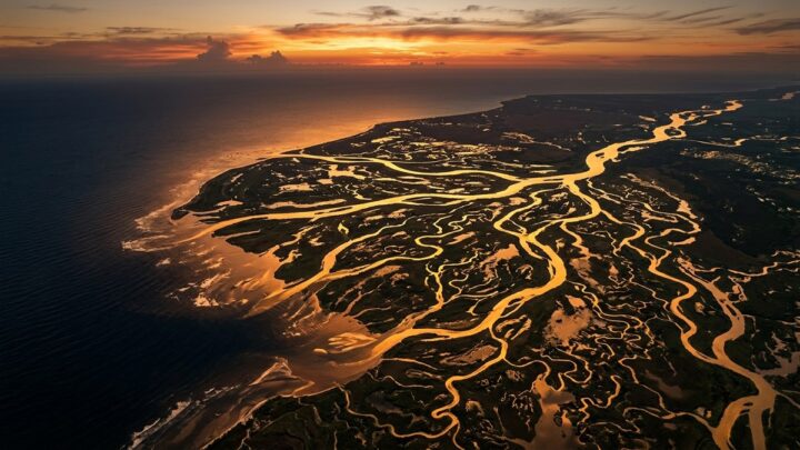
Geo Boundaries-v3 shifts from political lines to physical terrain, showing how mountains, rivers, deserts and coastlines shape where boundaries end up. The prompt frameworks cover isometric terrain maps, ridge lines, watersheds and the natural features that make some borders almost inevitable. Each block is written to produce a map where the landform is the argument, so a viewer understands why the line falls where it does. You get prompts for layered relief maps, cross-section profiles that show elevation change along a border, and three-dimensional isometric views that make terrain legible without a legend. The kit includes guidance on hypsometric colour ramps, so elevation reads intuitively and consistently across a series. This volume suits geography education, environmental content, cartography portfolios and any explainer that needs to connect politics to physical landscape.
Geo Boundaries-v2 takes the fundamentals from the first volume and applies them to contested and disputed territory. The prompt frameworks here cover overlapping claims, ceasefire lines, demilitarised zones and the ambiguous frontiers where two maps disagree. Each block is written to present a dispute neutrally, showing the competing claims as parallel visual layers rather than picking a side. You get prompts for multi-layer map illustrations where each claim is a distinct translucent overlay, for before-and-after comparisons showing how a line moved, and for schematic diagrams that isolate the disputed area from the wider region. The kit includes guidance on colour and pattern so overlapping claims remain distinguishable without becoming visually chaotic. This volume suits news explainers, international relations content, history material and educational resources that need to handle sensitive geography with clarity and care.
Geo Boundaries-v1 is the first of four volumes on the lines that divide the world. This kit focuses on the fundamentals: how a boundary is drawn, what makes it natural versus artificial, and how to show it clearly on a map without letting the line overwhelm the terrain. The prompt frameworks cover stylised political maps, terrain maps with overlaid borders and simple schematic diagrams that isolate the concept from the geography. Each block is written to keep the boundary visually dominant while preserving enough landscape detail to make the map readable. You get prompts for dashed, solid and disputed boundary treatments, so you can distinguish different legal statuses at a glance. Guidance on palette separation ensures adjacent territories read as distinct even in a thumbnail. The kit avoids embedded text, so place names and labels stay in your own language and typography. Use it as the foundation for the later volumes, which add disputes, historical shifts and maritime boundaries.
Healthy Food-v3 completes the series by placing food in context: kitchens, markets, lunchboxes and shared tables. The prompt frameworks cover preparation scenes, storage and meal-prep layouts, market produce displays and the social settings where healthy eating actually happens. Each block is written to keep the food as the visual subject while giving the environment enough detail to feel real. You get prompts for warm natural-light kitchen scenes, clean overhead meal-prep grids and lively market compositions. The kit includes guidance on hands and human presence, which is the hardest part of food imagery to get right and the part that makes a scene feel lived in. Frameworks for seasonal variation let you show the same meal across different times of year. No text is embedded in any image, so labels, prices and captions stay under your control. Together with the earlier volumes it forms a complete visual system for food content.
We use cookies to run the site, measure how it is used, and show advertising. Accepting turns on personalised ads and analytics; rejecting keeps them off. Either way the site works the same. Read our Privacy Policy.