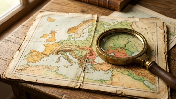
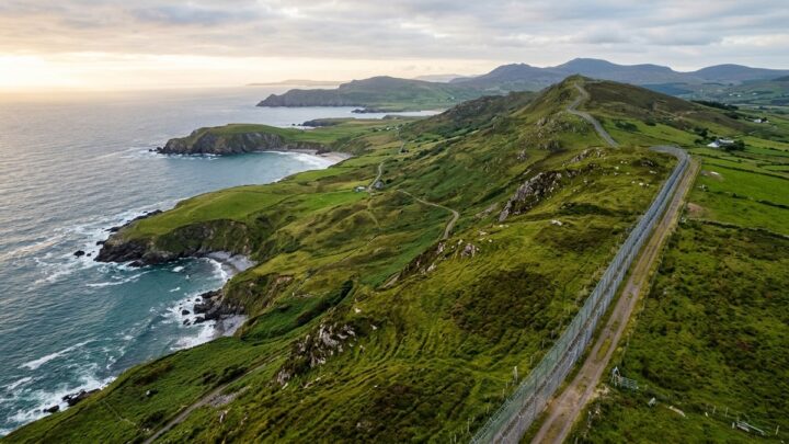
What If Map Cartoon Explainer is a Creator Kit for the counterfactual questions that make geography and history so engaging. The prompt frameworks cover alternate borders, hypothetical coastlines, changed climates and the playful what-if scenarios that turn a map into a story. Each block is written in a cartoon-explainer register: bold shapes, clear silhouettes, friendly colour and enough exaggeration to be fun without losing the underlying logic. You get prompts for alternate-history maps, hypothetical terrain scenarios, comparison panels contrasting our world with an imagined one, and question-mark compositions that frame a scenario. The kit includes guidance on keeping a cartoon style consistent across a series so episodes feel like one show. Frameworks for reveal sequences support video pacing. This kit suits educational video channels, geography and history content, classroom material and any creator who wants serious ideas delivered with a light touch.
[Country]'s Trillion Dollar Secret Paper Cut Animation-v1 takes the same economic storytelling framework and rebuilds it in a layered paper-cut visual style. The prompt frameworks cover the depth, shadow and layered construction that define paper-cut animation, applied to maps, resources, infrastructure and financial imagery. Each block is written to produce a scene that reads as physical cut paper, with visible edge thickness, soft drop shadows and a limited palette. You get prompts for layered landscape scenes, stacked map compositions and reveal-style arrangements where layers separate to expose what lies beneath. The kit includes guidance on lighting a paper scene so depth reads correctly, which is the detail that makes the style convincing. Frameworks for sequential frames support animation planning. This kit suits animated explainer videos, documentary sequences, presentation visuals and any project that wants economic content to feel crafted and tactile rather than corporate.
[Country]'s Trillion Dollar Secret-v1 is a Creator Kit for the kind of economic story that hides in plain sight. The prompt frameworks cover resource wealth, strategic industries, sovereign funds and the infrastructure that turns a national advantage into lasting power. Each block is written to make an abstract economic argument visual: a resource deposit, a shipping lane, a financial district, a supply chain. You get prompts for layered map diagrams, cutaway infrastructure views, and comparison panels that place a country's position against its neighbours. The kit includes guidance on data-friendly composition, leaving clean space where charts and figures can be added later. Frameworks for before-and-after sequences show how an economy transformed over decades. This kit suits economic and business explainers, geopolitics content, investment education and documentary-style features.
Everyday Origins Country-v2 is a Creator Kit about the surprising places ordinary objects come from. The prompt frameworks cover the supply chains, raw materials and manufacturing stories behind things people use without thinking: a coffee cup, a phone, a pair of shoes, a lightbulb. Each block is written to make an invisible process visible, tracing an object from extraction through production to the shelf. You get prompts for exploded views that separate an object into its material components, map-style origin diagrams showing where each part comes from, and process sequences that follow one material through the chain. The kit includes guidance on visual consistency so a multi-object series feels like one body of work. Frameworks for comparison panels let you contrast two products' origins. This kit suits economics and trade explainers, sustainability content, supply chain education and any project that reveals the hidden geography of everyday life.
A Creator Kit built around the tension between political power and the lines on a map. The prompt frameworks cover the ways borders are drawn, contested, ignored and redrawn, and how geography constrains what states can actually do. Each block is written to make an abstract strategic concept visible: spheres of influence, buffer states, access to sea, resource corridors and the physical barriers that shape policy. You get prompts for layered influence maps, comparison panels contrasting political and physical geography, and schematic diagrams that isolate a single strategic idea. The kit includes guidance on colour and transparency so overlapping influence zones stay readable. Frameworks for before-and-after maps show how a border changed and what that change meant. Suits international relations content and geography education.
A Creator Kit for explaining conflict over land, resources and recognition. The prompt frameworks cover disputed borders, contested regions, strategic chokepoints, resource claims and the historical layers that produced the current map. Each block is written to present competing positions as parallel visual layers rather than taking a side, which keeps the material usable for neutral analysis. You get prompts for multi-layer claim maps, before-and-after territorial comparisons, and schematic diagrams that isolate a dispute from the wider region. The kit includes guidance on colour and pattern so overlapping claims stay distinguishable without visual chaos. Suits news explainers, international relations content, history and political science material, and educational resources that need to handle sensitive geography with clarity and care.
Geo Boundaries-v4 closes the series by looking at the boundaries most people never see: maritime limits, exclusive economic zones, airspace and the abstract lines that govern oceans and skies. The prompt frameworks cover territorial waters, continental shelf claims, straits and chokepoints, and the layered zones that extend outward from a coastline. Each block is written to make an invisible legal concept visible, using translucent bands, distance markers and clean schematic geometry. You get prompts for coastal zone diagrams, three-dimensional ocean-column illustrations and comparison panels showing how different countries define their maritime reach. The kit includes guidance on layering multiple zones without visual clutter, which is the central challenge of this subject. This kit suits international law and geopolitics content, maritime and shipping features, and educational material on the parts of the map that are drawn in water rather than on land.
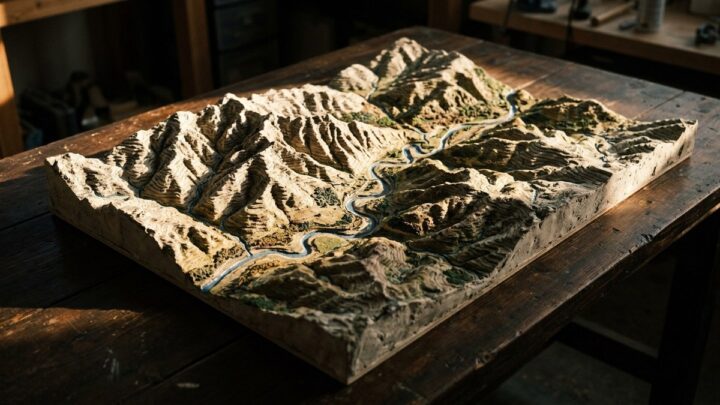
Geo Boundaries-v3 shifts from political lines to physical terrain, showing how mountains, rivers, deserts and coastlines shape where boundaries end up. The prompt frameworks cover isometric terrain maps, ridge lines, watersheds and the natural features that make some borders almost inevitable. Each block is written to produce a map where the landform is the argument, so a viewer understands why the line falls where it does. You get prompts for layered relief maps, cross-section profiles that show elevation change along a border, and three-dimensional isometric views that make terrain legible without a legend. The kit includes guidance on hypsometric colour ramps, so elevation reads intuitively and consistently across a series. This volume suits geography education, environmental content, cartography portfolios and any explainer that needs to connect politics to physical landscape.
Geo Boundaries-v2 takes the fundamentals from the first volume and applies them to contested and disputed territory. The prompt frameworks here cover overlapping claims, ceasefire lines, demilitarised zones and the ambiguous frontiers where two maps disagree. Each block is written to present a dispute neutrally, showing the competing claims as parallel visual layers rather than picking a side. You get prompts for multi-layer map illustrations where each claim is a distinct translucent overlay, for before-and-after comparisons showing how a line moved, and for schematic diagrams that isolate the disputed area from the wider region. The kit includes guidance on colour and pattern so overlapping claims remain distinguishable without becoming visually chaotic. This volume suits news explainers, international relations content, history material and educational resources that need to handle sensitive geography with clarity and care.
We use cookies to run the site, measure how it is used, and show advertising. Accepting turns on personalised ads and analytics; rejecting keeps them off. Either way the site works the same. Read our Privacy Policy.