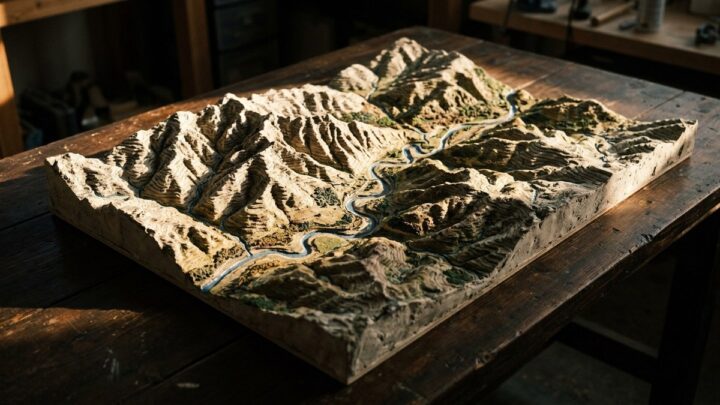
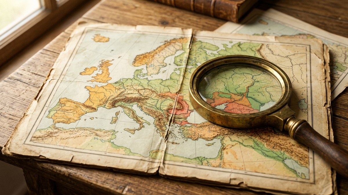
A Creator Kit built around the tension between political power and the lines on a map. The prompt frameworks cover the ways borders are drawn, contested, ignored and redrawn, and how geography constrains what states can actually do. Each block is written to make an abstract strategic concept visible: spheres of influence, buffer states, access to sea, resource corridors and the physical barriers that shape policy. You get prompts for layered influence maps, comparison panels contrasting political and physical geography, and schematic diagrams that isolate a single strategic idea. The kit includes guidance on colour and transparency so overlapping influence zones stay readable. Frameworks for before-and-after maps show how a border changed and what that change meant. Suits international relations content and geography education.
Share this guide